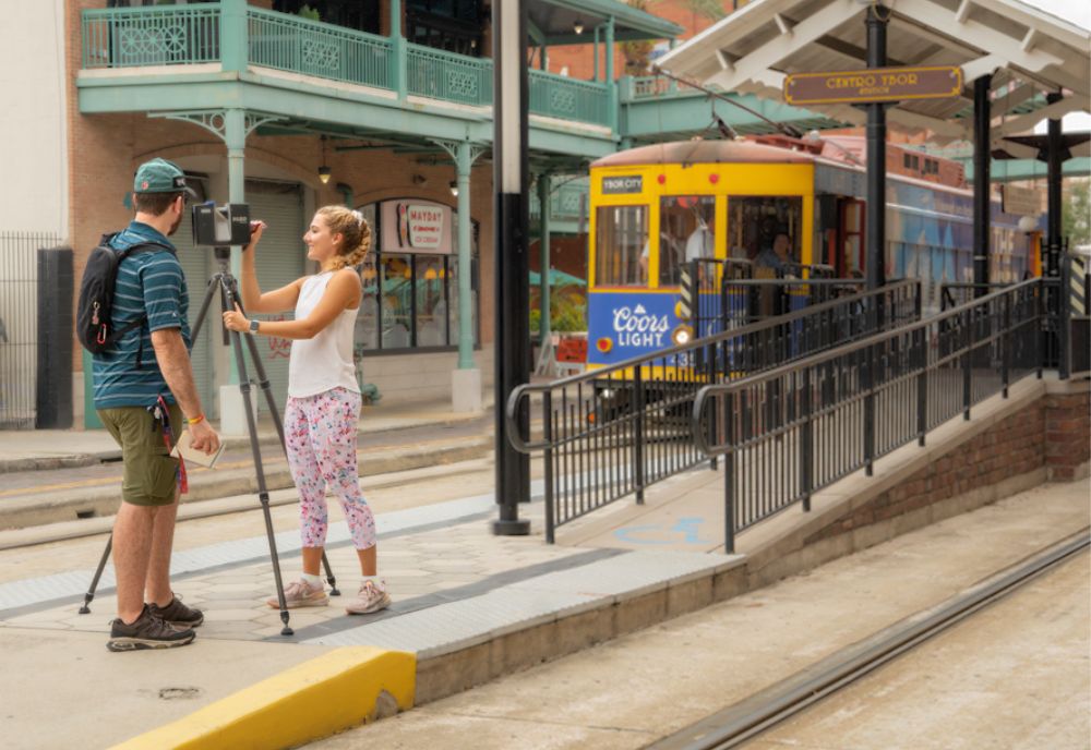
On the streets of Ybor City this summer, you may have seen USF students getting real-world experience that can help the Tampa Bay community for years to come.
Students taking the Terrestrial Lidar Field Methods course, led by College of Arts and Sciences Professor Steve Fernandez from the USF School of Public Affairs and Dr. Laura Harrison from the USF Access 3D Lab, are trained in methods of 3D architectural documentation with professional-grade lidar technology while also providing real-world experience in the field.
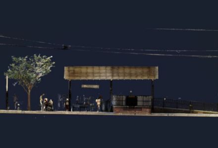
Screenshot of the students’ data being processed to show one of the trolley stations. (Image provided by Amber Brocki)
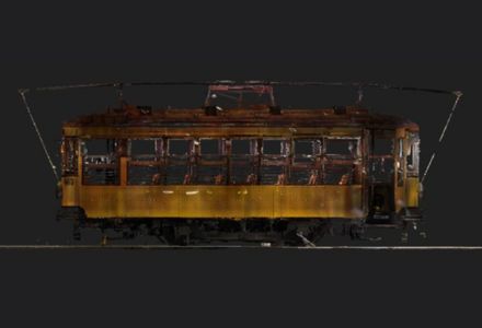
Screenshot of the students’ data being processed to show one of the streetcars. (Image provided by Kimberly Mendez)
Lidar technology uses the light from a laser to collect measurements that can be used to create 3D models and maps of objects and environments.
Tampa’s historic streetcars are an iconic part of Tampa’s urban and cultural heritage. The transportation network was originally used to transport workers, but today the system is at the beating heart of the city’s revitalization, linking Ybor City, the Channelside district, and downtown.
“We chose the Ybor City area because of the connection to the streetcars,” Fernandez explained. “The Carbarn is located there, and the stations are set in a National Historic Landmark district. The streetcars have a significant part in Tampa’s history and are a critical part of the city’s transportation network.”
Upon completion of this course, students will have created a high-resolution survey for use in preservation, architecture, and urban planning visualization. The Hillsborough Area Regional Transit Authority (HART) will receive the data for archival purposes, and to incorporate for future development and renovations. In the future, the maps they create could be viewed in virtual and augmented reality.
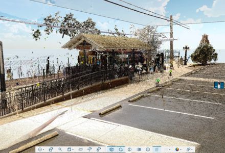
Screenshot of their data being processed to show one of the trolley stations. (Image provided by Alex Fawbush)
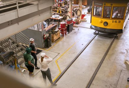
The TECO Streetcar Carbarn houses the streetcars when they are out of service and for maintenance. (Photo by Alessandra Casanova.)
“As a graduate student, I am grateful for lidar training at this stage,” said Kimberly Mendez, a graduate student at the Patel College of Global Sustainability. “This program is a hidden gem for students to be training in this modern technology.”
View more work from Access 3D Lab by visiting their webpage.