University of South Florida

USF College of Marine Science

News

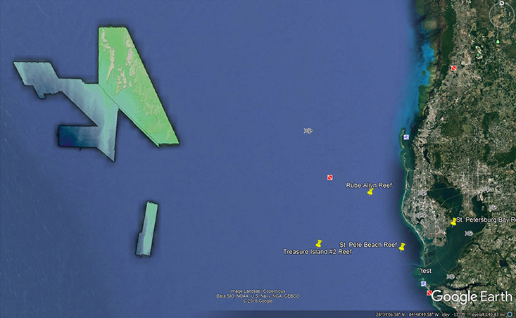
View C-SCAMP’s bathymetry data in Google Earth

C-SCAMP Bathymetry Data in Google Earth

C-SCAMP Bathymetry Data in Google Earth

ST. PETERSBURG, FL – C-SCAMP now have files called GeoTIFFs available for download on several of their data product pages. When viewed in Google Earth, you will be able to see highly detailed features on the seafloor. And, luckily, it’s not hard to import and view them in the program. Just simply follow their step-by-step instructions.

The areas for which they have these files for includes several Pinellas County, FL artificial reefs as well as a compilation of everything this project has mapped up until November 2018.
Learn more about the C-SCAMP project

Return to article listing

Mission Statement

Our blue planet faces a suite of challenges and opportunities for understanding and innovation. Our mission is to advance understanding of the interconnectivity of ocean systems and human-ocean interactions using a cross-disciplinary approach, to empower the next workforce of the blue economy with a world-class education experience, and to share our passion for a healthy environment and science-informed decision-making with community audiences near and far.