By: Dyllan Furness, Director of Communications
There’s often little warning when a tsunami strikes, but a research team at USF aims to improve the forecasting of these hazardous events for communities that are most at risk.
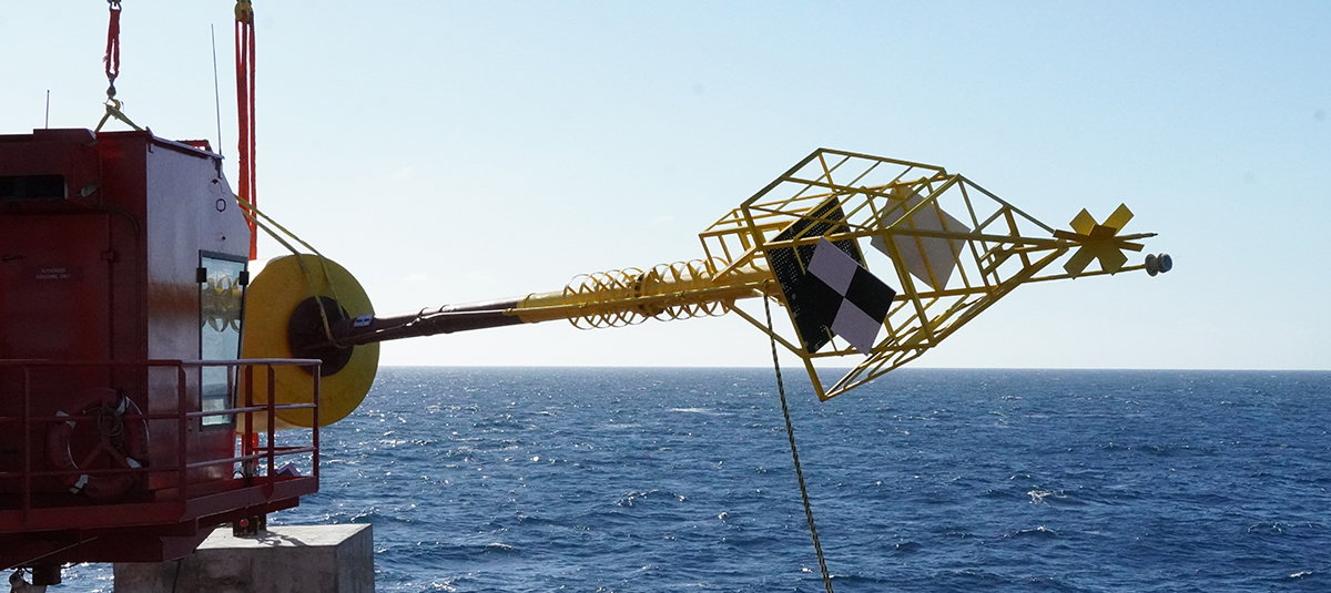
The Shallow Underwater Buoy for Geodesy (SUBGEO) system is a research partnership between the USF School of Geosciences, the College of Marine Science (CMS), and international collaborators. Born from the need to monitor and forecast earthquakes in shallow coastal waters, the SUBGEO system is designed to measure seafloor motion, such as strain and release processes, at depths of less than 650 feet in subduction zones where earthquakes and tsunamis are most prevalent.
The latest versions of the SUBGEO system were deployed in mid-December at two locations on the west Florida shelf of the Gulf of Mexico. Although the region is not prone to earthquakes and tsunamis, it serves as valuable testing ground for such a system before it’s deployed in more seismically active locations around the world.

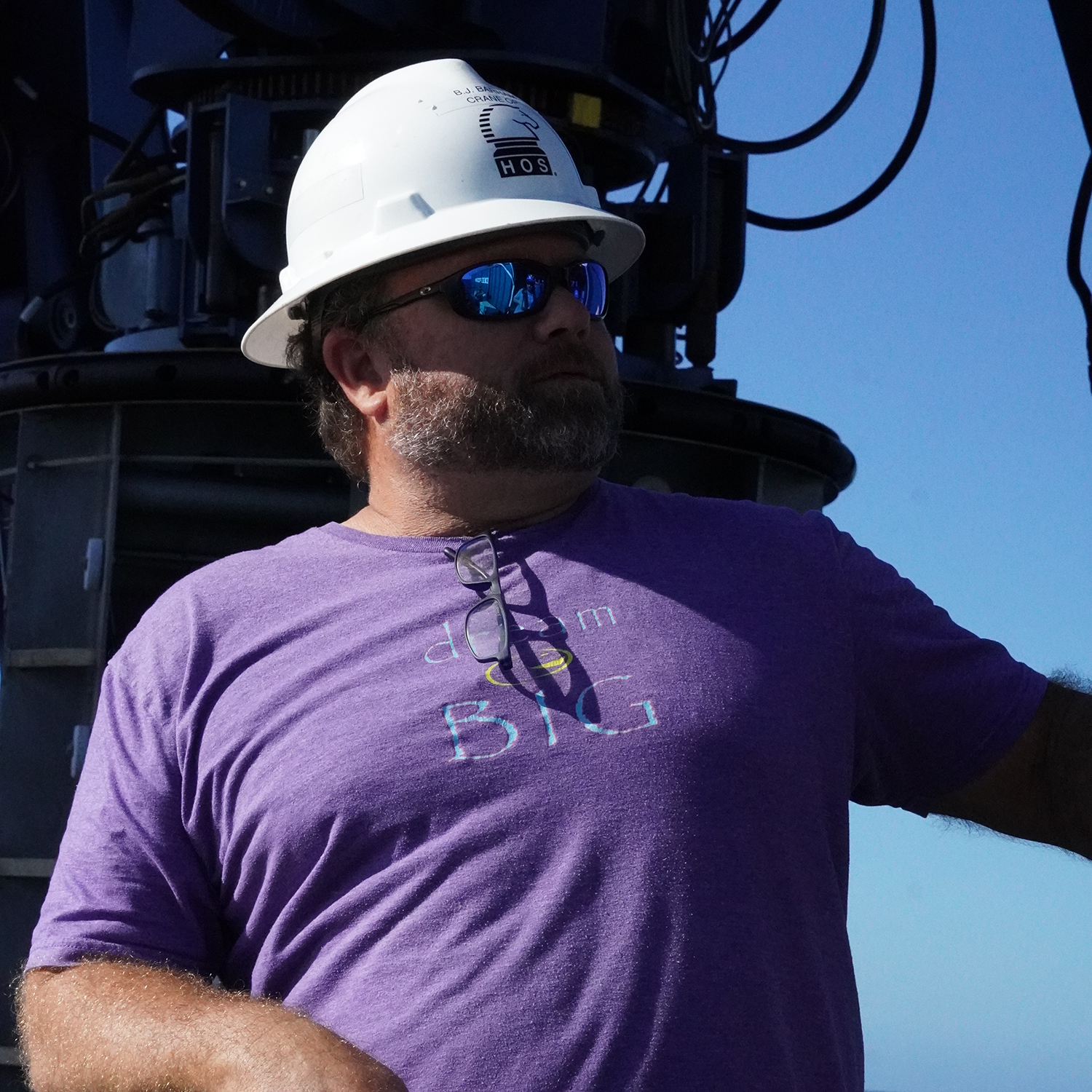
IMAGE ABOVE: Jay Law is a research scientist in the Ocean Circulation Lab at the USF College of Marine Science. Photo credit: Samantha D’Angelo.
“The seafloor on the west Florida shelf, including Tampa Bay, is essentially static,” said Jay Law, a research scientist in the Ocean Circulation Lab at CMS, who has been heavily involved in the project since its inception. “The purpose of this deployment is to test the accuracy of the GPS system where there is little background noise. This way we can see how much movement of the buoy is attributed to waves and other ocean processes, and this determines the accuracy of the system in measuring seafloor movement.”
The SUBGEO system uses a highly precise GPS to measure horizontal and vertical displacement of the seafloor to an accuracy of one-two centimeters, allowing for the collection of critical data that can help predict events months or years in advance.
Constructed in the machine shop at CMS, the original system is approximately 100-feet long and rises 35-feet above the waterline. It was first tested inside Tampa Bay near Egmont Key in 2018 and was deployed again this week off the Florida coast in at a depth of 65 feet.
An additional cabled buoy, also constructed at CMS, is capable of measuring seafloor changes in deeper waters. The larger system was deployed further offshore in the Gulf of Mexico at a depth of about 215 feet.

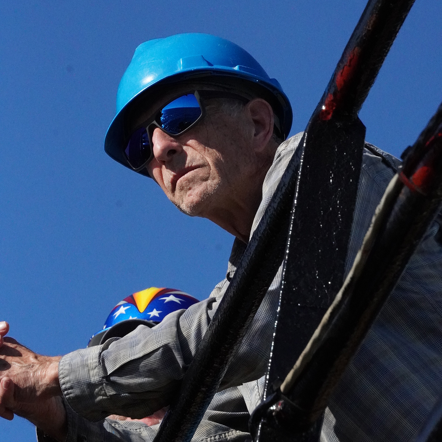
IMAGE ABOVE: Tim Dixon is a Distinguished University Professor at the USF School of Geosciences and principal investigator on the SUBGEO project. Photo Credit: Samantha D’Angelo.
“Current monitoring technology for tsunamis focuses on deep waters, but seafloor motion in shallow waters is also diagnostic and far less expensive,” said Tim Dixon, a Distinguished University Professor at the USF School of Geosciences and principal investigator on the project. “It's our hope that future iterations of the SUBGEO system can be used to save lives in coastal communities around the world.”
The buoys will remain deployed for at least 24 months and their baseline results will help refine future versions of the system for operational deployment in subduction zones, where strain and release processes are more common.
“An extraordinary coordinated effort made this science possible,” said Tom Frazer, dean of CMS. “This project demonstrates the best of what USF has to offer and shines a light on the combined engineering, fabrication, and logistical expertise that exists at the University of South Florida. We’re proud to have partnered with the School of Geosciences and other outside organizations to make these deployments a success.”
The SUBGEO system was designed with help from the Italian Institute of Geophysics and Volcanology (INGV). Funding for its development and fabrication is provided by the National Science Foundation's Ocean Technology and Interdisciplinary Coordination program with assistance from researchers at the Center for Ocean Mapping and Innovative Technologies, a NOAA-funded mapping center hosted at the College of Marine Science. Special thanks to the Maritime and Defense Technology Hub for assistance with vessel logistics for deployment. Additional collaborators include Hornbeck Offshore Services and the Ocean Circulation Lab at CMS.
Carlyn Scott, Science Communications Manager contributed to this article.
